Submitted:
29 November 2025
Posted:
02 December 2025
You are already at the latest version
Abstract
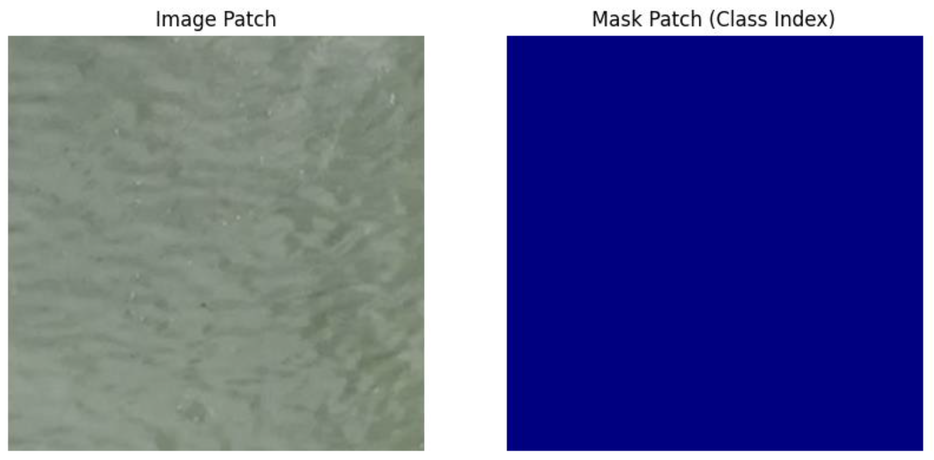
Oil spills pose severe ecological and economic threats, making rapid detection and severity assessment essential for effective environmental response and mitigation. Traditional remote-sensing approaches rely heavily on manual interpretation or rule-based algorithms, both of which are limited by variability in weather, illumination, and sea conditions. With the growing availability of satellite imagery and advancements in artificial intelligence, deep learning techniques offer powerful alternatives for automated oil spill identification. This study develops and evaluates a two-stage deep learning pipeline designed to (1) detect and segment oil spill regions in satellite images using semantic segmentation, and (2) classify the severity of identified spills using a supervised image-level classifier. The project utilizes the publicly available altunian/oil_spills dataset, consisting of 1,040 paired satellite images and color-encoded segmentation masks representing four classes: Background, Water, Oil, and Others. Stage 1 of the pipeline employs a U-Net architecture with a ResNet-18 encoder pretrained on ImageNet. The model performs pixel-level segmentation to isolate oil regions from surrounding ocean and environmental structures. Stage 2 uses a modified ResNet-18 classifier that accepts four-channel one-hot encoded segmentation outputs and predicts one of three spill severity levels derived from the proportional area of oil pixels: No Oil (<5%), Minor (5–15%), and Major (>15%). The pipeline was trained using the PyTorch framework with separate training cycles for each stage, enabling modular evaluation and interpretability. A systematic experimental setup including an 80/10/10 training–validation–test split, cross-entropy loss functions, Adam optimization, and 20-epoch training windows was used to assess model performance. Results show that the U-Net segmentation model achieves a mean Intersection-over-Union (IoU) of 0.8156 on the test set, with particularly strong performance on the Background (0.9123) and Water (0.8567) classes and lower, but still effective, performance on the Oil class (0.7234). These findings reflect the inherent class imbalance in satellite imagery, where oil occupies a small proportion of total pixels. The ResNet classifier achieved an overall accuracy of 88.76%, with F1-scores of 0.90 for No Oil, 0.85 for Minor, and 0.90 for Major severity levels. Classification errors were concentrated around the Minor category, consistent with threshold-based class definitions and segmentation uncertainty. The combined results demonstrate that a two-stage deep learning approach offers substantial improvements in both accuracy and interpretability over single-stage or heuristic-based systems. Segmentation masks provide visual justification for classification outputs, enabling a more transparent workflow for environmental monitoring agencies. Despite strong performance, limitations include dataset size, imbalance across severity classes, and dependency of classification accuracy on segmentation quality. Future work may incorporate data augmentation, advanced architectures such as U-Net++ or DeepLabv3+, temporal satellite imagery, or uncertainty quantification models for risk-aware operational deployment. Overall, our two-stage pipeline provides a robust, interpretable, and scalable framework for real-time oil spill detection and severity assessment in satellite imagery.
Keywords:
Introduction
Background / Literature Review
Methods
Data
Features
Outcome
Data Analytic Plan
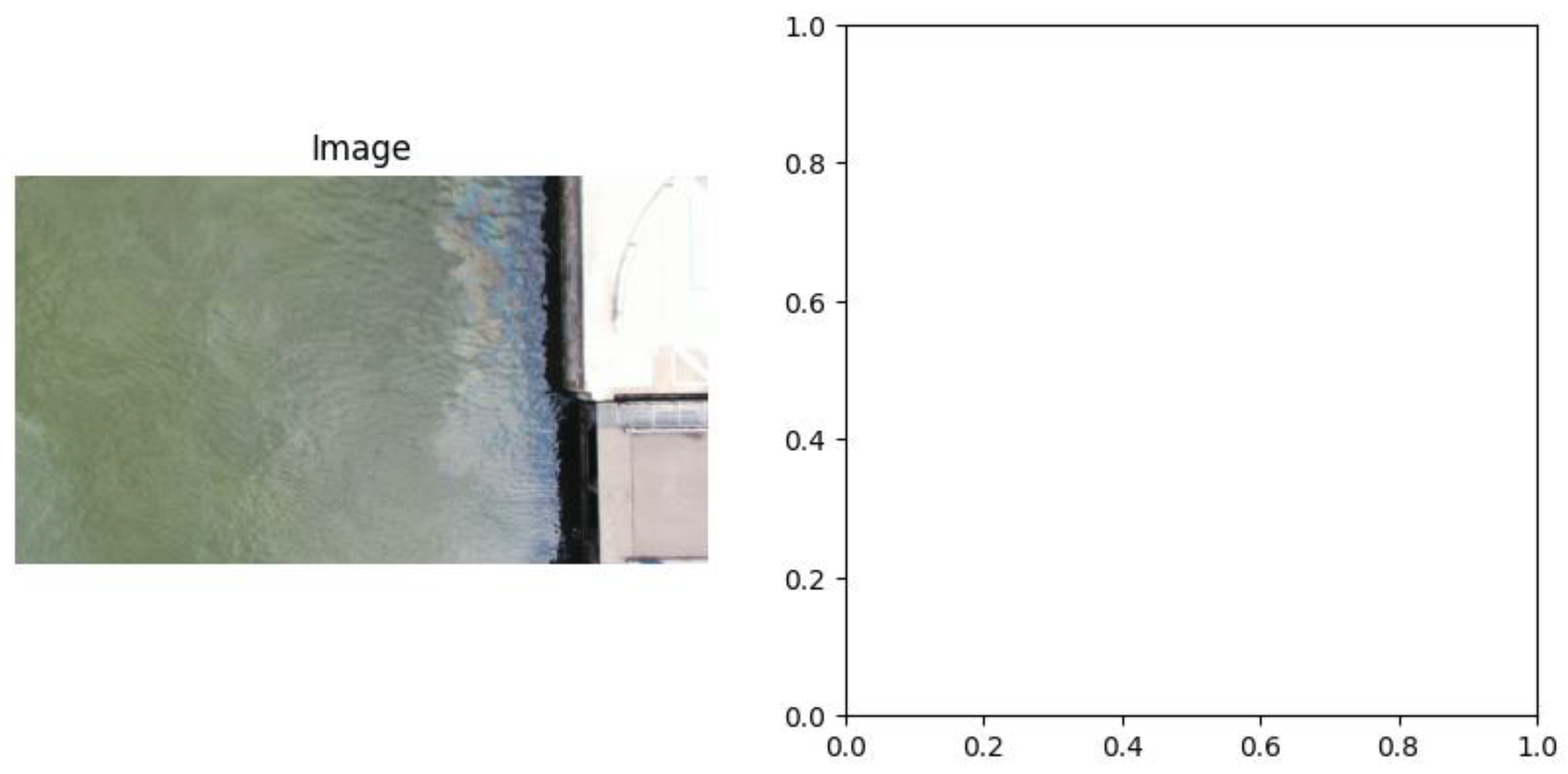
Results
- Under-segmentation leads to oil coverage below 5%, causing Minor spills to be labeled as No Oil.
- Over-segmentation pushes oil coverage above 15%, causing Minor spills to be labeled as Major.
Discussion
Summary of Results
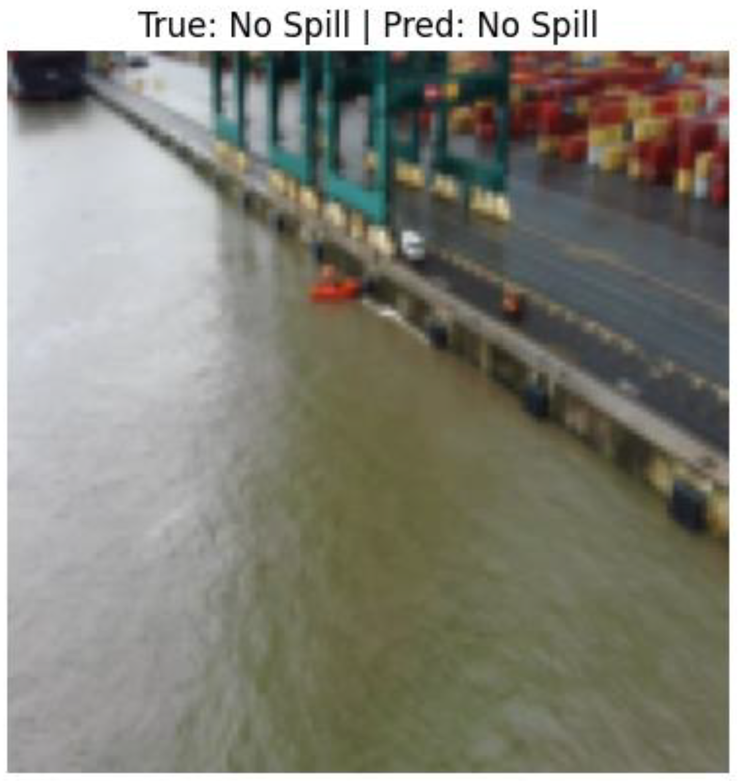
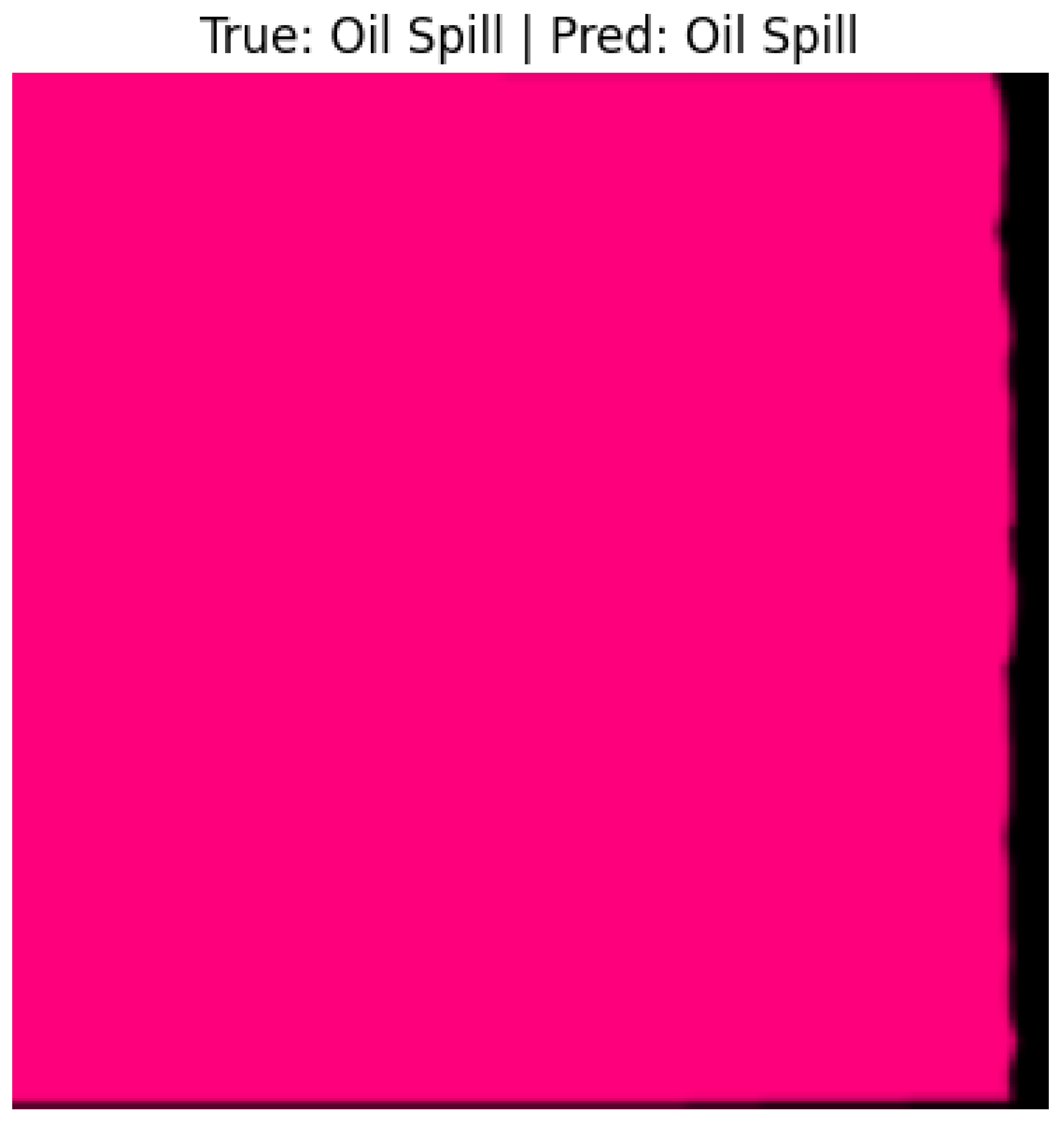
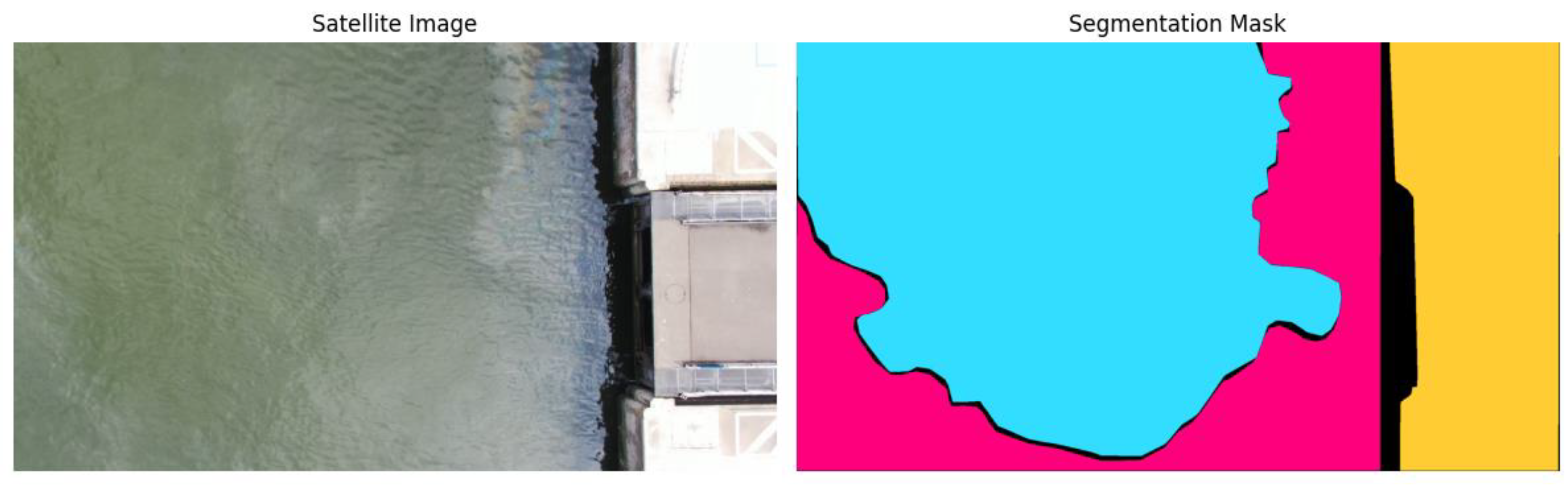
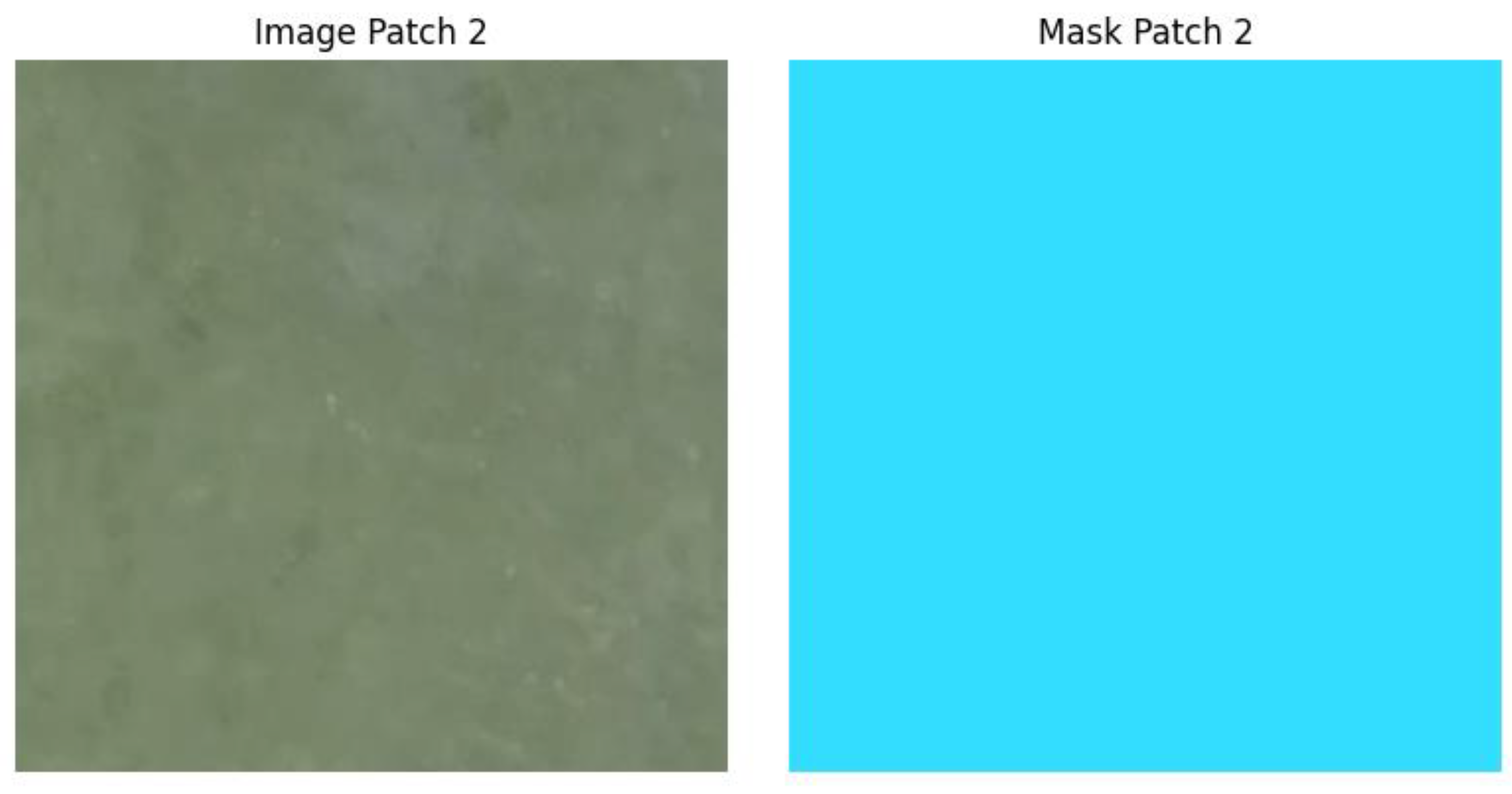
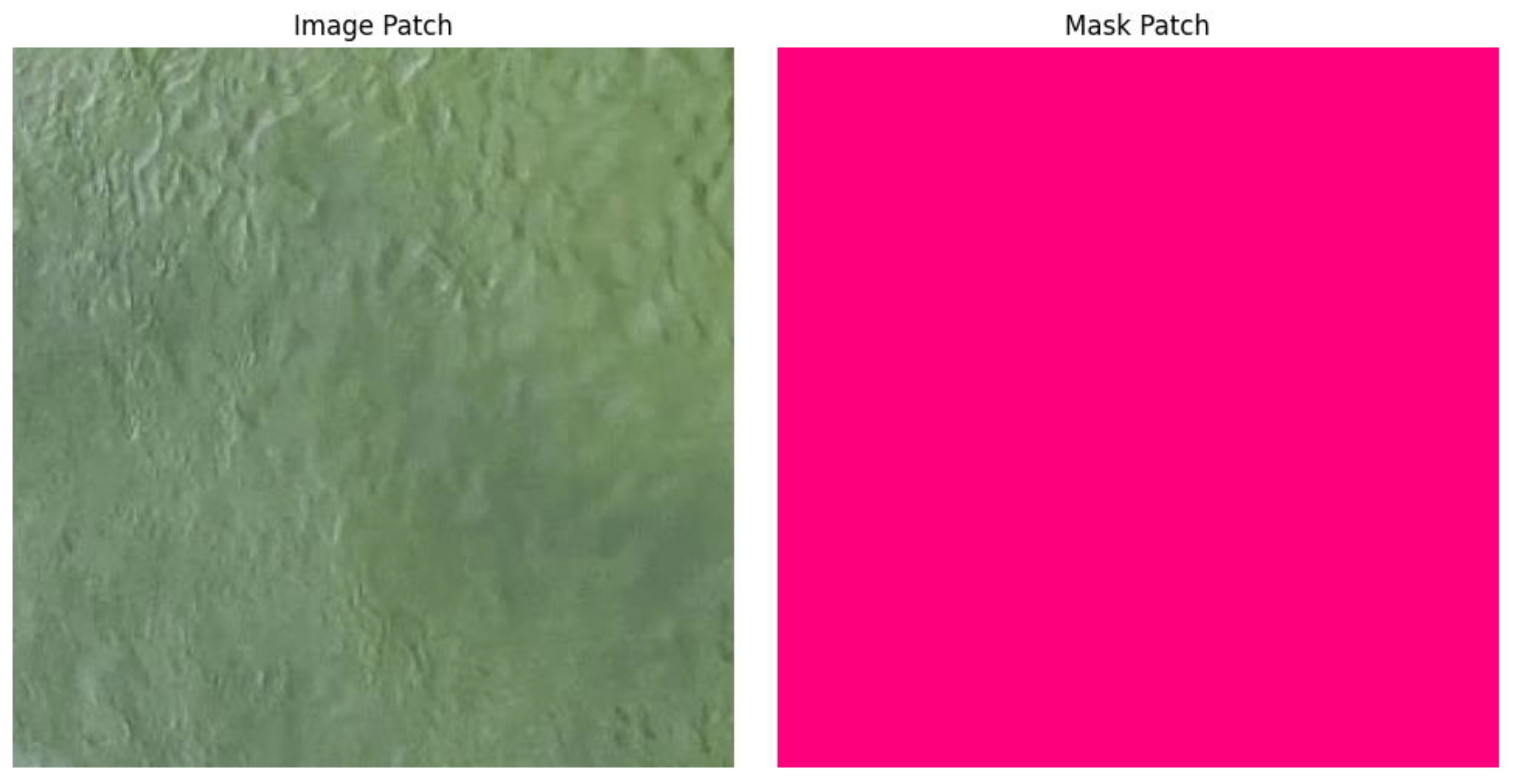
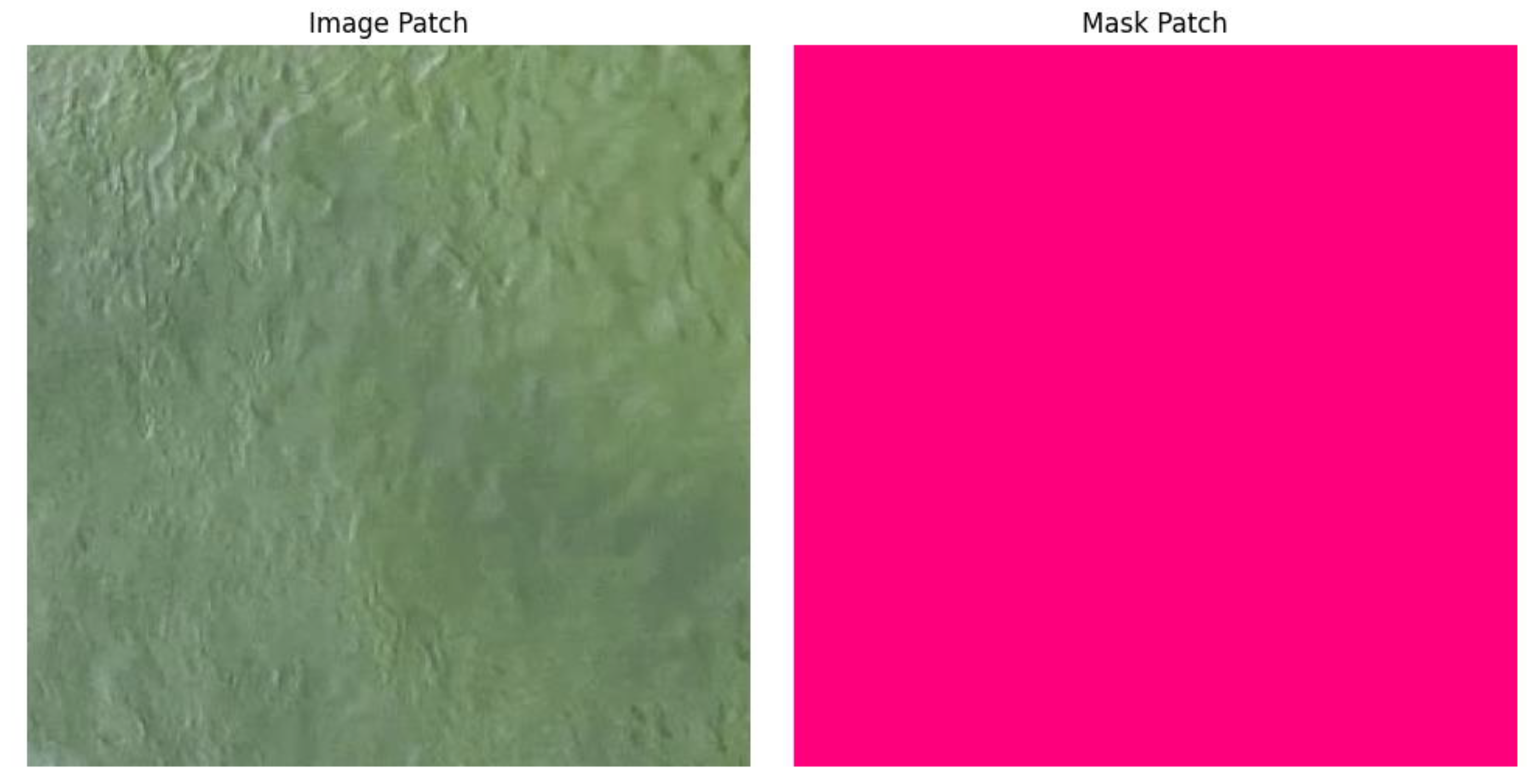
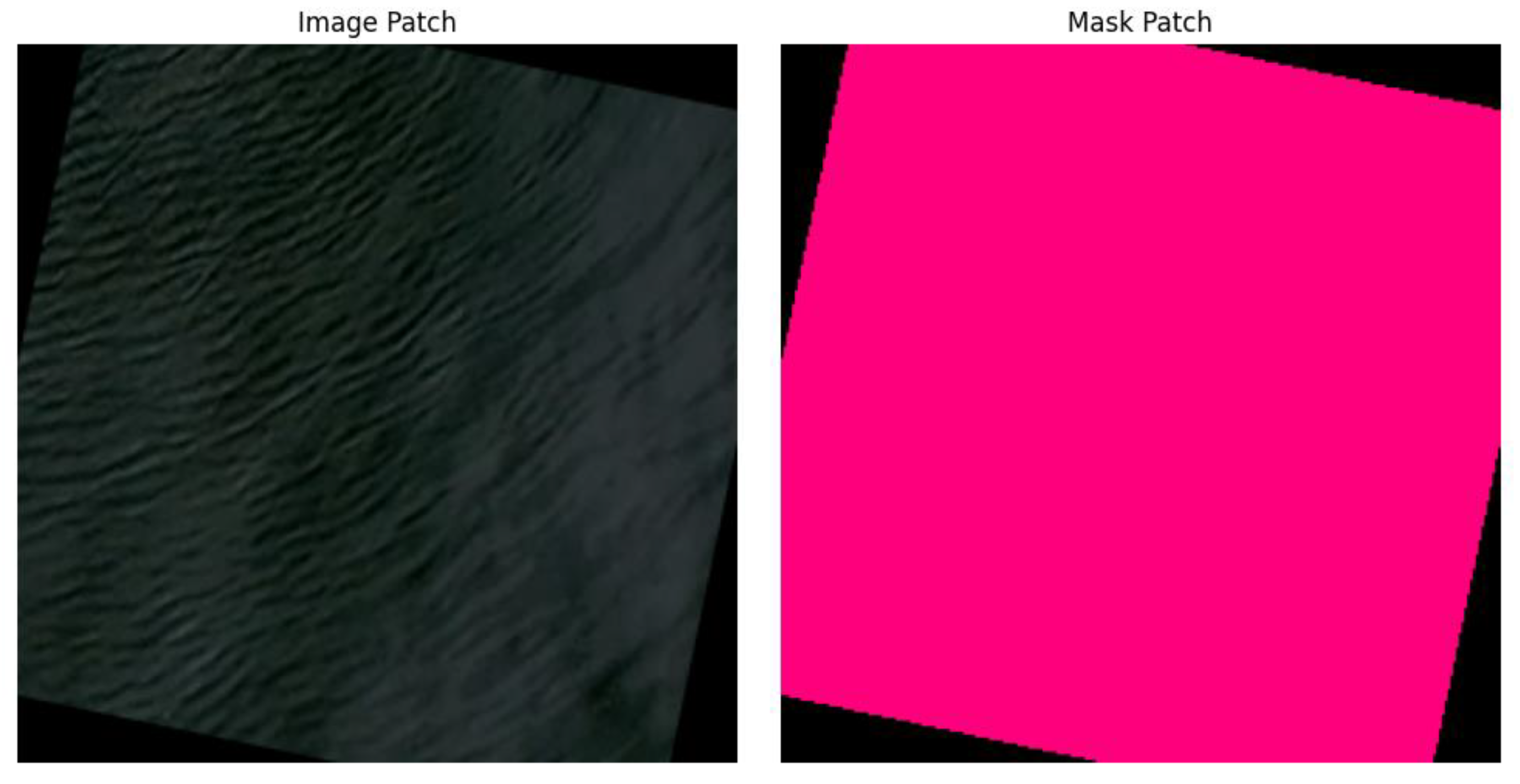
Interpretation of Visual Results
- Consistent Spill Shape Capture: Segmentation maps show that U-Net captures the shape and integrity of oil slicks, demonstrating true spatial understanding rather than pixel memorization.
- Difficulty with Irregular Edges: Fragmented or thin slicks appear with softened boundaries in segmentation outputs, reflecting the lower IoU for the Oil class.
- Clear Severity Patterns: Classification images show that Major spills produce dense, continuous oil regions, while Minor spills contain scattered patterns that are harder to classify.
- Evidence of Threshold Sensitivity: Visual misclassifications directly align with slight segmentation over- or under-estimates, confirming the relationship between the two stages.
Limitations Identified Through Image Analysis
- Dataset imbalance causes minor loss of detail in smaller oil regions.
- Environmental noise (sun glint, cloud shadows) sometimes mimics oil patterns visually.
- Static imagery does not capture oil spread dynamics, limiting temporal understanding.
- Use of U-Net++ or transformer-based segmentation to improve boundary precision.
- Inclusion of data augmentation to counter environmental variations.
- Development of multi-task end-to-end models to reduce error propagation.
- Integration of temporal satellite imagery to capture spill evolution.
- Incorporation of uncertainty quantification to make predictions more reliable for operational agencies.
Author Note
References
- Badrinarayanan, V.; Kendall, A.; Cipolla, R. SegNet: A deep convolutional encoder–decoder architecture for image segmentation. IEEE Transactions on Pattern Analysis and Machine Intelligence 2017, 39(12), 2481–2495. [Google Scholar] [CrossRef] [PubMed]
- Cheng, G.; Yang, C.; Yao, X.; Guo, L.; Han, J. When deep learning meets metric learning: Remote sensing image scene classification via learning discriminative CNNs. IEEE Transactions on Geoscience and Remote Sensing 2020, 58(1), 439–451. [Google Scholar] [CrossRef]
- He, K.; Zhang, X.; Ren, S.; Sun, J. Deep residual learning for image recognition. In Proceedings of the IEEE Conference on Computer Vision and Pattern Recognition (CVPR); 2016; pp. 770–778. [Google Scholar] [CrossRef]
- Face, Hugging. altunian/oil_spills [Dataset]. 2023. Available online: https://huggingface.co/datasets/altunian/oil_spills.
- Iglovikov, V. I.; Shvets, A. A. TernausNet: U-Net with VGG11 encoder pretrained on ImageNet for image segmentation. arXiv:1801.05746. 2018. Available online: https://arxiv.org/abs/1801.05746.
- Zhang, Y.; Guo, W.; Li, J. Two-stage convolutional neural networks for marine oil spill segmentation and classification. IEEE Access 2022, 10, 103402–103416. [Google Scholar]

Disclaimer/Publisher’s Note: The statements, opinions and data contained in all publications are solely those of the individual author(s) and contributor(s) and not of MDPI and/or the editor(s). MDPI and/or the editor(s) disclaim responsibility for any injury to people or property resulting from any ideas, methods, instructions or products referred to in the content. |
© 2025 by the authors. Licensee MDPI, Basel, Switzerland. This article is an open access article distributed under the terms and conditions of the Creative Commons Attribution (CC BY) license (http://creativecommons.org/licenses/by/4.0/).


