
Submitted:
06 November 2018
Posted:
07 November 2018
You are already at the latest version
Abstract
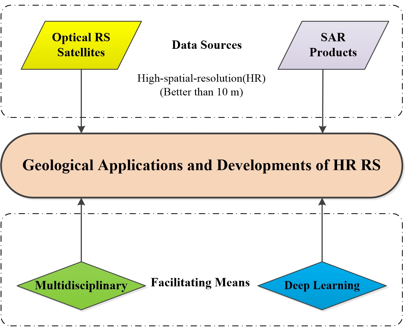
Geologists employ high-spatial-resolution (HR) remote sensing (RS) data for many diverse applications as they effectively reflect detailed geological information, enabling high-quality and efficient geological surveys. Applications of HR RS data to geological and related fields have grown recently. By analyzing these applications, we can better understand the results of previous studies and more effectively use the latest data and methods to efficiently extract key geological information. HR optical remote sensing data are widely used in geological hazard assessment, seismic monitoring, mineral exploitation, glacier monitoring, and mineral information extraction due to high accuracy and clear object features. Compared with optical satellite images, synthetic-aperture radar (SAR) images are stereoscopic and exhibit clear relief, strong performance, and good detection of terrain, landforms, and other information. SAR images have been applied to seismic mechanism research, volcanic monitoring, topographic deformation, and fault analysis. Furthermore, a multi-standard maturity analysis of the geological applications of HR images using literature from the Science Citation Index reveals that optical remote sensing data are superior to radar data for mining, geological disaster, lithologic, and volcanic applications, but inferior for earthquake, glacial, and fault applications. Therefore, geological remote sensing research needs to be truly multidisciplinary or interdisciplinary, ensuring more detailed and efficient surveys through cross-linking with other disciplines. Moreover, the recent application of deep learning technology to remote sensing data extraction has improved automatic processing and data analysis capabilities.
Keywords:
High-spatial-resolution images
; Geology
; Deep learning
; Remote sensing
Copyright: This open access article is published under a Creative Commons CC BY 4.0 license, which permit the free download, distribution, and reuse, provided that the author and preprint are cited in any reuse.


