Submitted:
17 April 2020
Posted:
19 April 2020
Read the latest preprint version here
Abstract
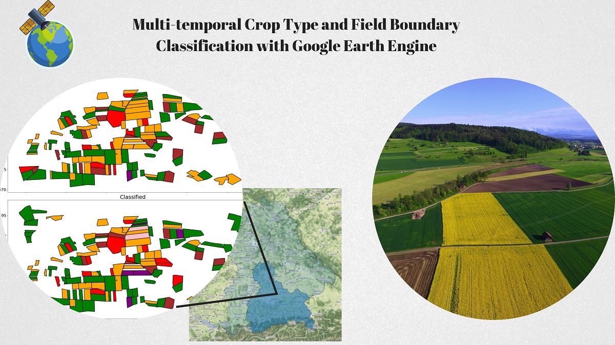
Crop type and field boundary mapping enable cost-efficient crop management on the field scale and serve as the basis for yield forecasts. Our study uses a data set with crop types and corresponding field borders from the federal state of Bavaria, Germany, as documented by farmers from 2016 to 2018. The study classified corn, winter wheat, barley, sugar beet, potato, and rapeseed as the main crops grown in Upper Bavaria. Corresponding Sentinel-2 data sets include the normalised difference vegetation index (NDVI) and raw band data from 2016 to 2018 for each selected field. The influences of clouds, raw bands, and NDVI on crop type classification are analysed, and the classification algorithms, i.e., support vector machine (SVM) and random forest (RF), are compared. Field boundary detection and extraction are based on non-iterative clustering and a newly developed procedure based on Canny edge detection. The results emphasise the application of Sentinel’s raw bands (B1–B12) and RF, which outperforms SVM with an accuracy of up to 94%. Furthermore, we forecast data for an unknown year, which slightly reduces the classification accuracy. The results demonstrate the usefulness of the proof-of-concept and its readiness for use in real applications.
Keywords:
Precision farming
; Crop type mapping
; Digital agriculture
; Sentinel-2
; Random Forest
; SVM
; Field boundaries
; Canny
; Simple non-iterative clustering
Copyright: This open access article is published under a Creative Commons CC BY 4.0 license, which permit the free download, distribution, and reuse, provided that the author and preprint are cited in any reuse.


