
Submitted:
16 October 2026
Posted:
20 October 2026
You are already at the latest version
Abstract
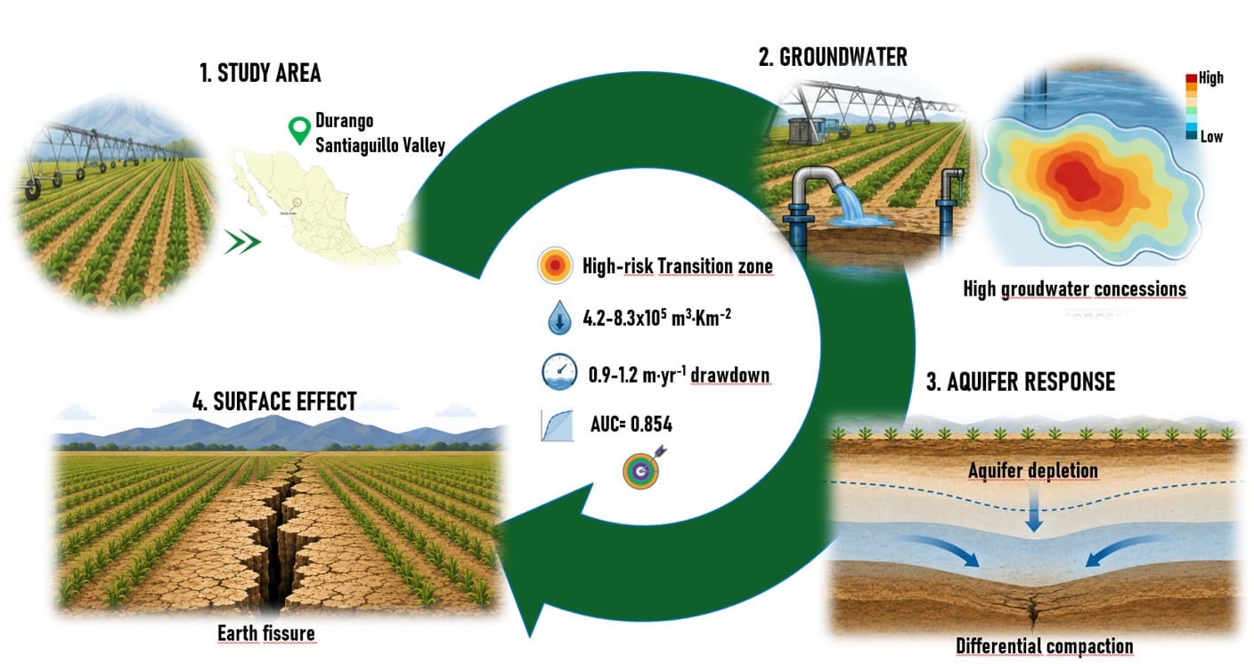
Groundwater overexploitation can promote land deformation and earth-fissure development in semi-arid aquifers, particularly where hydrogeological conditions vary spatially. This study evaluated the relationship between groundwater extraction pressure, groundwater drawdown, and earth-fissure occurrence in the Valle de Santiaguillo aquifer, Durango, Mexico. Earth fissures were characterized using UAV-based Structure-from-Motion photogrammetry, while groundwater extraction pressure and drawdown were analyzed in a GIS environment. A 60 × 60 m spatial grid was used to integrate predictor variables, and binary logistic regression was applied to model fissure occurrence. Two major fissures with a combined mapped length of 946 m were identified. Groundwater extraction pressure was significantly associated with fissure occurrence (OR = 4.91, 95% CI: 2.06–11.73), whereas the groundwater drawdown gradient showed a stronger association (OR = 64.56, 95% CI: 10.50–397.39). The model showed good discrimination (AUC = 0.854). Fissure-associated cells occurred mainly under intermediate-to-high extraction and drawdown conditions rather than at max-imum values. These results suggest that spatial contrasts in groundwater-level decline may provide a useful indicator of earth-fissure susceptibility in overexploited aquifers.
Keywords:
earth fissures
; groundwater overexploitation
; drawdown gradient
; groundwater extraction pressure
; logistic regression
; GIS
; UAV
; susceptibility mapping
Copyright: This open access article is published under a Creative Commons CC BY 4.0 license, which permit the free download, distribution, and reuse, provided that the author and preprint are cited in any reuse.