
Submitted:
31 May 2022
Posted:
01 June 2022
You are already at the latest version
Abstract
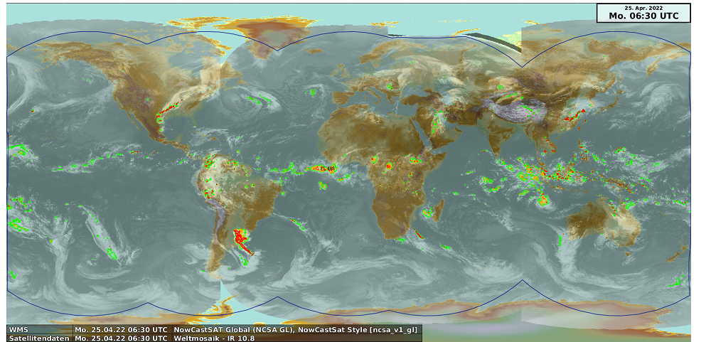
Thunderstorms are among the most common and most dangerous meteorological hazards in the world. They cause lightning and can lead to strong wind gusts, squall lines, hail and heavy precipitation combined with flooding, and therefore pose a threat to health and life, can cause enormous property damage and also endanger flight savety. Monitoring and forecast of thunderstorms are therefore important topics. In this work a novel method for the detection and forecast of thunderstorms and strong convection is presented. The detection is based on the global GLD360 lightning data in combination with satellite information from the satellite series Meteosat, HIMAWAARI and GOES, covering the complete geostationary ring. Three severity levels are defined depending on the occurrence of lightning and the brightness temperature difference of the water vapour channels and the infrared window channel (∼ 10.8 μm). The detection of thunderstorms and strong convection is the basis for the nowcasting up to 2 hours, which is performed with the optical flow method TV-L1. This method provides the needed atmospheric motion vectors for the extrapolation of the thunderstorm movement. Both, the validation results as well as the feedback of the customers show the great value of the new NowCastSat-Aviation (NCS-A) method. For example, the Critical Success Index (CSI) is with 0.64 still quite high for the 60 minute forecast of severe thunderstorms. The method is operated 24/7 by the German Weather Service (DWD) and used to provide thunderstorm information to aviation customers and the central weather forecast unit of DWD.
Keywords:
Thunderstorms
; Cumulonimbus
; Convection
; Nowcasting
; Lightning
Copyright: This open access article is published under a Creative Commons CC BY 4.0 license, which permit the free download, distribution, and reuse, provided that the author and preprint are cited in any reuse.


