
Submitted:
23 December 2020
Posted:
24 December 2020
You are already at the latest version
Abstract
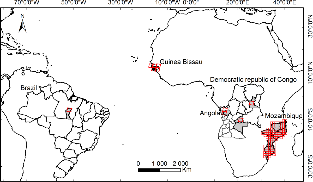
Genetic Programming (GP) is a powerful Machine Learning (ML) algorithm that can produce readable white-box models. Although successfully used for solving an array of problems in different scientific areas, GP is still not well known in Remote Sensing. The M3GP algorithm, a variant of the standard GP algorithm, performs Feature Construction by evolving hyper-features from the original ones. In this work, we use the M3GP algorithm on several sets of satellite images over different countries to create hyper-feature from satellite bands to improve the classification of land cover types. We add the evolved hyper-features to the reference datasets and observe a significant improvement of the performance of three state-of-the-art ML algorithms (Decision Trees, Random Forests and XGBoost) on multiclass classifications and no significant effect on the binary classifications. We show that adding the M3GP hyper-features to the reference datasets brings better results than adding the well-known spectral indices NDVI, NDWI and NBR. We also compare the performance of the M3GP hyper-features in the binary classification problems with those created by other Feature Construction methods like FFX and EFS.
Keywords:
Genetic Programming
; Evolutionary Computation
; Machine Learning
; Classification
; Multiclass Classification
; Feature Construction
; Hyper-features
; Spectral Indices
Copyright: This open access article is published under a Creative Commons CC BY 4.0 license, which permit the free download, distribution, and reuse, provided that the author and preprint are cited in any reuse.


